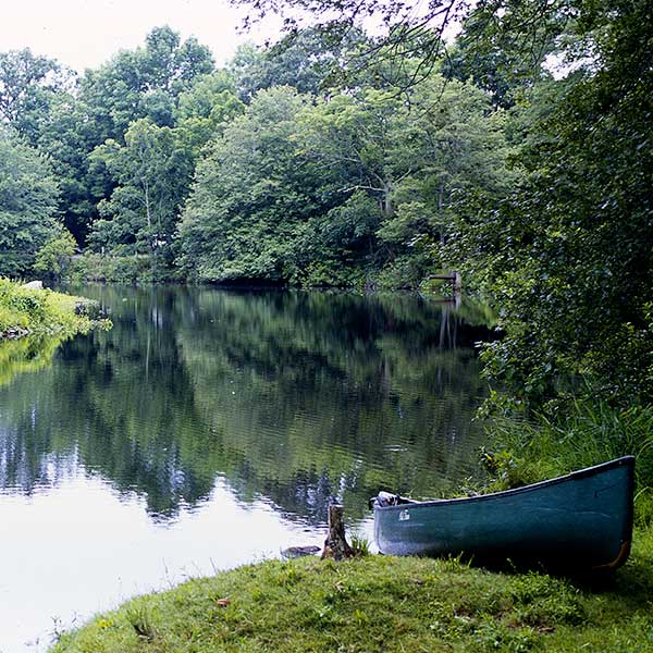
The Taunton River travels through 10 communities for approximately 40 miles from the confluence of the Town and Matfield Rivers to the confluence of Mt. Hope Bay.
For over two decades, local citizens, planners, conservation groups, and other partners worked to protect the natural and cultural resources of the Taunton River. It is their efforts, through local planning, stewardship, and advocacy, that helped the Taunton achieve federal Wild and Scenic recognition.
In 2009, President Obama signed federal legislation designating the entire mainstem of the Taunton River as a component of the National Wild and Scenic River System to be administered by the National Park Service through a locally-based partnership, the Taunton River Stewardship Council.
Please explore this website to learn more about the Taunton and what it means to be a Wild and Scenic River.